The Green Exploration Company

Certainty before the drill.

Two independent subsurface technologies, from Germany and the United States, fused into one corroborated answer. Delivered worldwide by an Australian company that stands accountable for the result.

Technology partnersGeoScan GmbHCC Explorations
0 m
Reported gScan exploration depth, onshore and offshore
0+
gScan projects completed by GeoScan GmbH worldwide
97–99%
Depth correlation with historical BHP diamond drilling, PNG
15–45
Days for satellite AMRT results (CC Explorations)
01The problem

Conventional exploration drills to find out.

The energy transition needs more copper, lithium, nickel, cobalt and rare earths than the world produces today, and new mines take years to bring on.

Most exploration still commits capital first and tests the theory last, with the drill bit. In remote country that is slow, expensive and disruptive. Every dry hole is money spent on information that could have been gathered earlier, from orbit, for a fraction of the cost.

Drilling blind

Theory leads, capital follows, and the drill is the first real test.

Drilling informed

Two technologies agree on the target before a rig is mobilised.

Months of fieldwork

Crews, access, permits and clearing before any answer arrives.

Weeks from coordinates

Remote phases start from survey coordinates alone.

Footprint first

Ground disturbance whether or not anything is found.

Footprint last

No drilling, clearing or blasting during reconnaissance.

02The technology

German science. American satellite physics. One answer.

No single technology should carry a major capital decision. We bring two independent methods to the same ground, and treat their agreement as the signal that matters.

Berlin, Germany
GeoScan GmbH

gScan™ exploration science

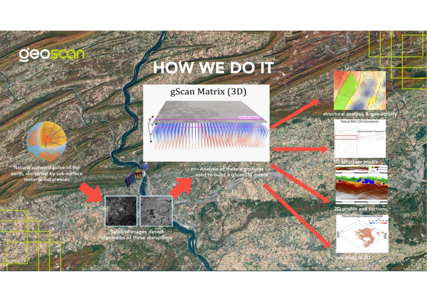
gScan reads the natural outward pulse of the earth as it appears in satellite imagery. AI and statistical modelling turn those signatures into a 3D data cube, from which GeoScan GmbH's geologists model the ore body or reservoir.

  • 3D ore-body and reservoir models with 2D depth and thickness maps
  • Minerals, battery metals, oil and gas, geothermal and water
  • Reporting structured to NI 43-101
10,000 mReported depth
100+Projects
On + offshore
CORRO­BORATED
United States
CC Explorations

AMRT™ satellite detection

Atomic Mineral Resonance Tomography reads each element's unique resonance signature from orbit, combining multispectral and hyperspectral imaging, gravity and magnetic field analysis, terrain modelling and proprietary AI.

  • Presence, location, estimated depth and distribution of target elements
  • Drill-ready Google Earth KMZ maps and 3D GeoLab access
  • MSR passive seismic for ground follow-up
15–45Days
Up to 93%Reported correlation
20+Years
GeoScanAustralia Pacific

GeoScan Australia Pacific integrates both technologies, fuses the results, manages delivery and is the single accountable party to the client. Our partners are not suppliers. Together we operate as one capability.

03The method

Two independent technologies, tested blind.

A single method cannot corroborate itself. Two methods that detect the subsurface by different physical means can. Then we test the result against your own data.

PHASE 01

Corroborated remote targeting

gScan builds a prospectivity grid from lineament, geodynamic and spectral analysis. AMRT independently detects the target elements. The results are fused, ranked and lodged with you before any of your data is exchanged.

PHASE 02

Independent blind validation

You release your withheld drilling, geophysics and geochemistry. In a joint workshop the target set is benchmarked against ground truth. The validation summary is yours.

PHASE 03

3D drill-ready targeting

Validated targets become a 3D subsurface model with cross sections, preliminary ore bodies and drilling points, in a single decision report structured to NI 43-101.

Wide areaRisk and cost narrow at each phaseDrill-ready
04Global reach

If the ground has coordinates, we can work on it.

Onshore or offshore, in any country, through one Australian contract. Australian accountability, global reach.

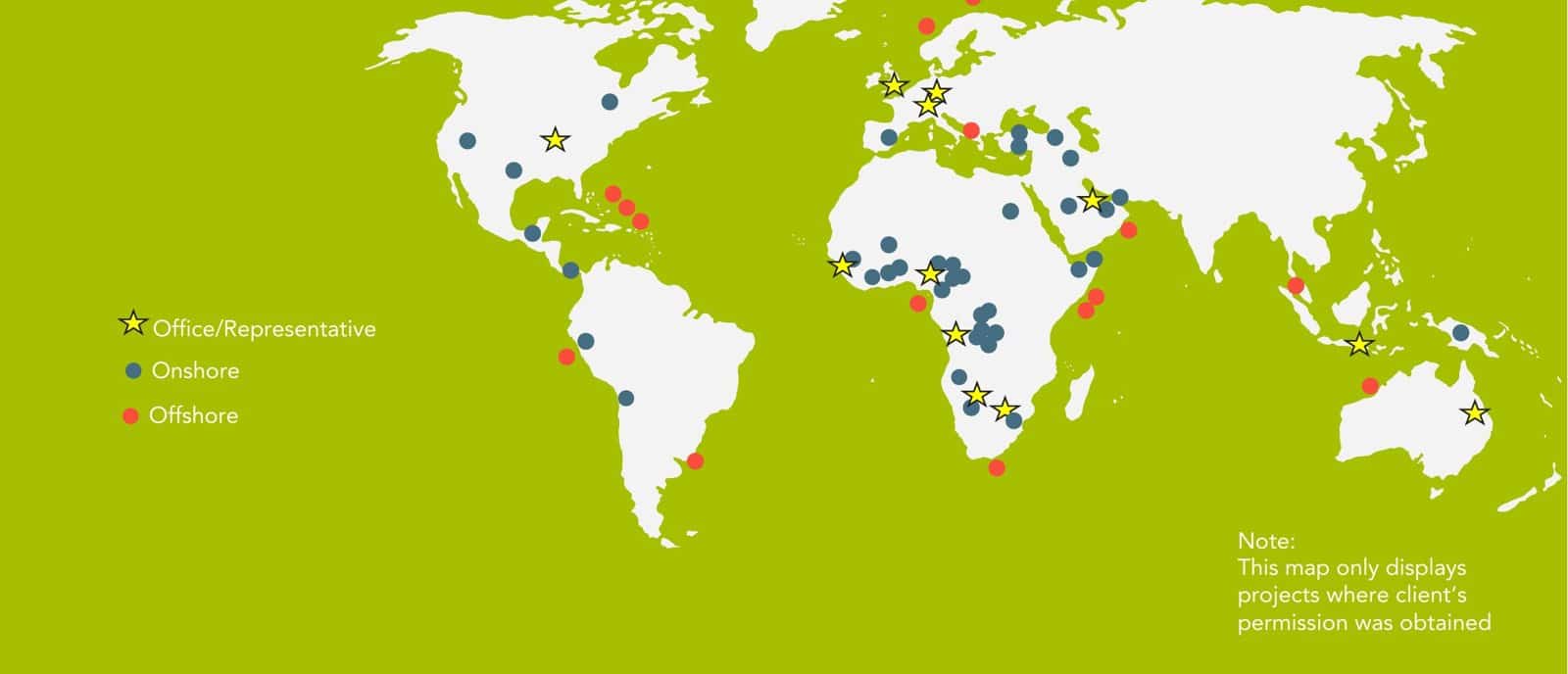
GeoScan GmbH published project locations worldwide
Published GeoScan GmbH projects across the Americas, Europe, Africa, the Middle East and Asia-Pacific. Many more are held under client confidentiality. Source: GeoScan GmbH.

Any coordinates on earth

The remote phases start from survey coordinates alone. No rigs to mobilise, no field crews, no land access, so remote, offshore and frontier ground is as reachable as the tenement next door.

A global partner network

GeoScan GmbH has completed more than 100 projects worldwide, including 184,479 km² offshore across seven countries. CC Explorations has delivered satellite exploration worldwide for more than 20 years.

One accountable contract

Wherever the project sits, you contract with one Australian company that coordinates the technologies, fuses the results and reports to recognised standards, in a nominated currency.

HQ  Brisbane, AustraliaPapua New GuineaVietnamPartner  Berlin, GermanyPartner  United States
05Services

What we deliver.

Every service draws on the same integrated capability, scoped from a single licence to a national program.

Greenfield reconnaissance

Screen large licence areas quickly and rank where to focus before committing to field programs.

Mineral exploration

Precious, base and battery metals, including copper, gold, lithium, nickel, cobalt and rare earths, mapped in 3D.

Oil and gas

Onshore and offshore reservoir mapping, layer structure and hydrocarbon indicators at depth.

Groundwater and geothermal

Map ground and geothermal aquifers for supply, agriculture, energy and drought resilience.

Drill support

Drill-ready targets with estimated depths, reducing dry holes and wasted metres.

Resource due diligence

Independent review of mineral resource and reserve estimates for investors and authorities.

Infrastructure moisture mapping

L-band SAR soil moisture and seepage mapping for tailings dams, pipelines, roads, rail and mines, and leak detection for water utilities.

Archaeological investigations

Non-invasive location of buried structures and subsurface features, without excavation.

Satellite surveying

Wide-area scanning for target elements, delivered as Google Earth KMZ maps.

06Who we work for

Built for the people who decide where to drill.

Governments and resource authorities

Independent evidence on national acreage to guide licensing, attract investment and steward sovereign resources.

Explorers and miners

Sharper targeting and faster go or no-go decisions that protect exploration budgets.

Oil and gas operators

Farm-in, appraisal and acreage screening without relying on seismic alone.

Water and infrastructure

Aquifer mapping for supply and agriculture, and moisture mapping for dams, pipelines and networks.

07Track record

Results checked against the drill.

97–99%
BHP drilling, Papua New Guinea

Depth correlation between GSAP survey data and historical BHP diamond drilling over gold and copper contact zones (GSAP release, 8 February 2024).

8 veins
Nagambie Resources (ASX: NAG)

Gold and antimony vein systems, with approximate depths, identified by a Stage 1 satellite scan in Victoria, supported by the company's existing data and drilling.

12 days
Kumul Minerals, PNG

Phase 1 copper and gold delineation over a 2.5 km² prospect, from data acquisition to final report.

Layer forecast and hydrocarbon indicator distribution, onshore Oman
GeoScan GmbH · ARA Petroleum, Oman

gScan mapped layer structures and hydrocarbon indicators onshore at 3 to 3.2 km depth.

“gScan fully supplements alternative, remote sensing methods. It helps to screen large areas very quickly.”
Ola Fjeld, Group COO, ARA Petroleum
gScan workflow
The gScan workflow, from satellite signatures to a 3D matrix. Source: GeoScan GmbH.
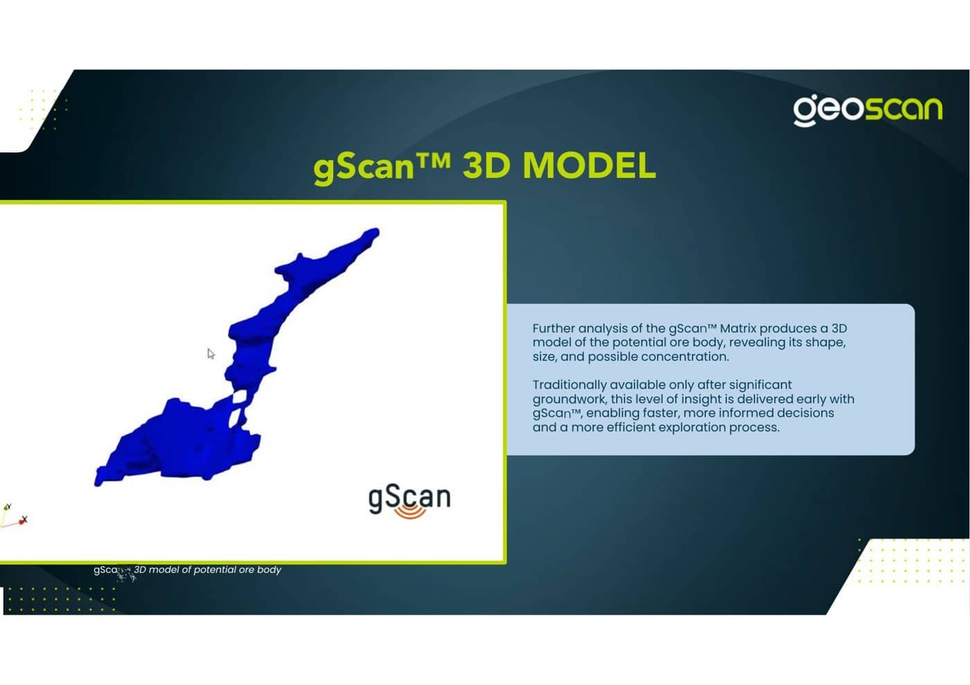
gScan 3D ore body model
3D model of a potential ore body. Source: GeoScan GmbH.
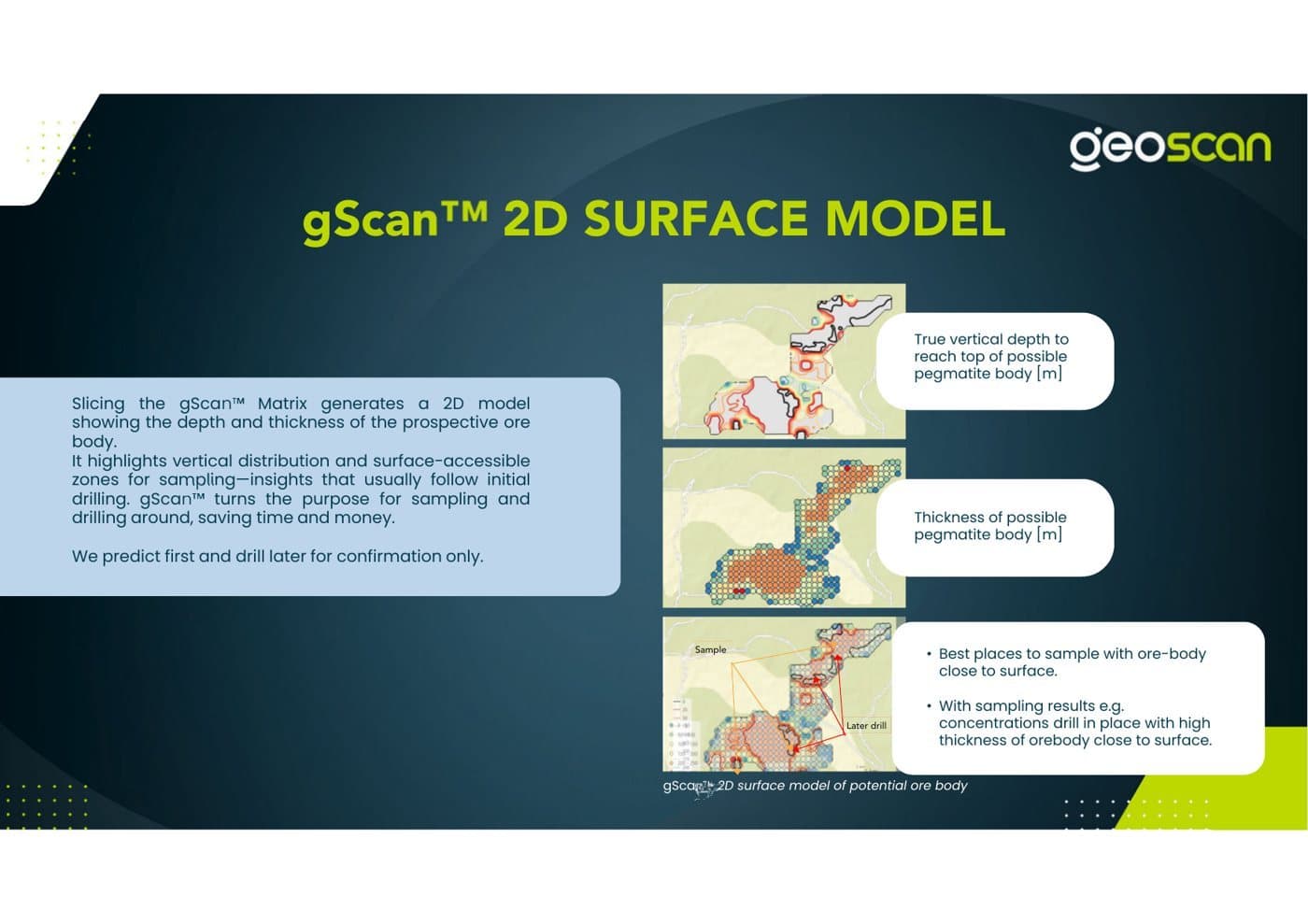
gScan 2D surface model
2D surface model of depth to and thickness of a target body. Source: GeoScan GmbH.
08The team

One team. Three continents.

Australian delivery, German exploration science and American satellite physics, led by people who have built companies, run exploration and sat at the board table.

Regional delivery, integration and accountability. More than 45 years of combined business experience across Australia and the Pacific.

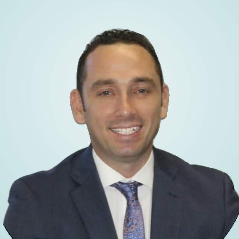
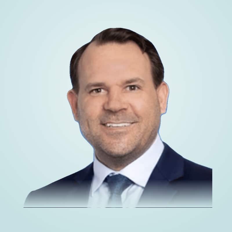
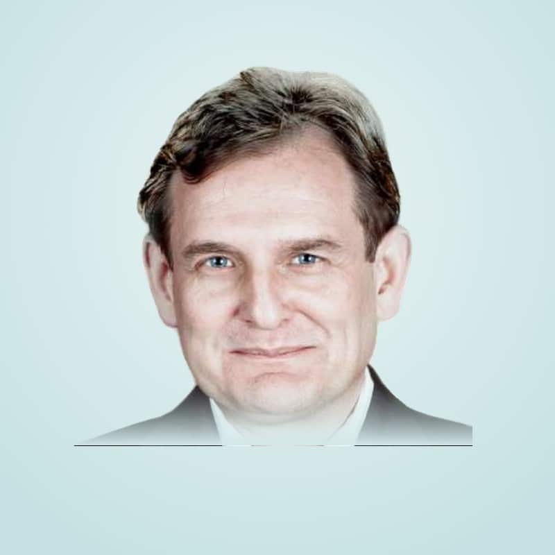
Brent Thomson

Brent Thomson

Chairperson and Group Managing Director

Defence, security and logistics specialist with twenty years across thirteen countries.

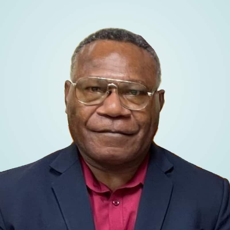
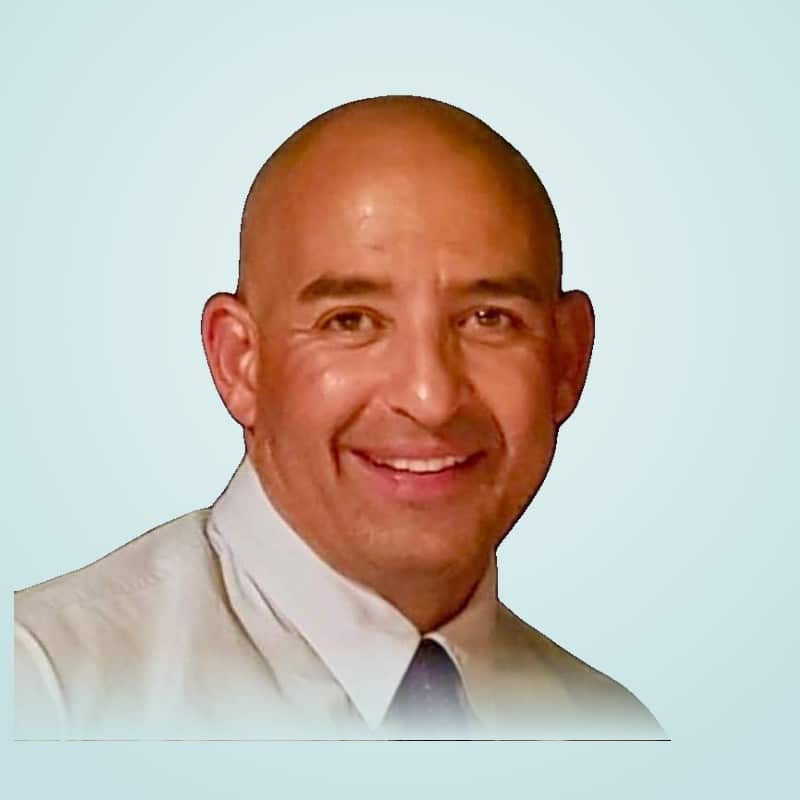
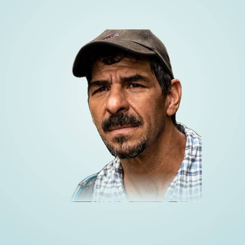
Francis Waina

Francis Waina

Group Chief Geoscientist

Leads geoscience, interpretation and validation.

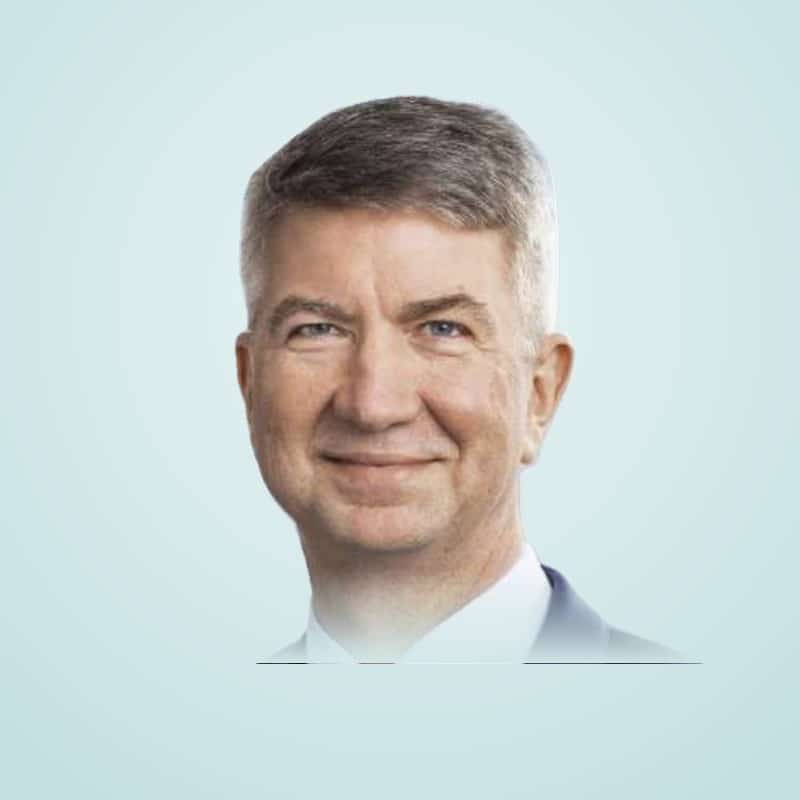
Steven Watson

Steven Watson

Group CFO and Country Manager, Vietnam

More than twenty years in audit, funds management and financial governance. Leads group finance and the Vietnam operation.

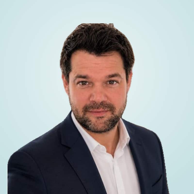
Danny Zaloumis

Danny Zaloumis

General Manager, Australia

Leads Australian operations and client delivery.

Clinton French

Clinton French

General Manager, Pacific

Leads Pacific operations and partnerships.

GeoScan GmbH

Founded in Berlin, GeoScan GmbH develops gScan, combining remote sensing, artificial intelligence and geology. Led by Chief Executive Dr Fabian Barthel, with more than 100 projects completed worldwide.

Dr Fabian Barthel

Dr Fabian Barthel

Chief Executive Officer

CEO since April 2026. Former Co-Founder and Managing Director of Vytal Global, Principal at Boston Consulting Group, and World Economic Forum infrastructure project lead. London School of Economics.

Oliver Haeggberg

Oliver Haeggberg

Co-Founder

Deutsche Telekom, PT-Capital VC, Arthur Andersen and Grant Thornton. University of St. Gallen.

Dr Ulrich Eichhorn

Dr Ulrich Eichhorn

Co-Founder and Business Development

Former Chief Technology Officer of Volkswagen, Managing Director of VDA and IAV, Bentley board member.

Andreas Spiess

Andreas Spieß

Non-executive Chairman

Attorney at law and serial entrepreneur across Europe and Africa. FU Berlin.

CC Explorations

CC Explorations, formerly GeoScan USA, has advanced satellite-assisted resource discovery for more than 20 years with its AMRT platform.

John Casey

John Casey

President

Geologist with more than 40 years in prospecting and mining and thousands of electromagnetic surveys worldwide.

09Responsible exploration

A lighter footprint is not a by-product. It is the method.

Remote reconnaissance needs no heavy machinery, no clearing and no blasting, so land and communities are not disturbed while we search.

  • Finding groundwater for drinking water and agriculture, including in arid zones
  • Sourcing the critical minerals for batteries, solar, wind and electrification
  • Offshore exploration without marine seismic surveys
  • Transparent resource information for host nations and licence auctions
  • Local jobs and stronger national institutions
8 of 17

UN Sustainable Development Goals

supported by the work of GeoScan Australia Pacific and our partners.

Put the method over your ground.

A Phase 1 program is fast, non-invasive and starts from your coordinates. Download our company profile or talk to us about a survey area.

10Contact

Start with your coordinates.

CompanyGeoscan Australia Pacific Pty Limited · ACN 663 163 933
HeadquartersLevel 38, 71 Eagle Street, Brisbane QLD 4000, Australia

Request a Phase 1 proposal

Tell us where and what you are looking for, and attach a survey file if you have one. We reply with a fixed-price scope of work.

Call Now Button